Lot Details & Additional Photographs
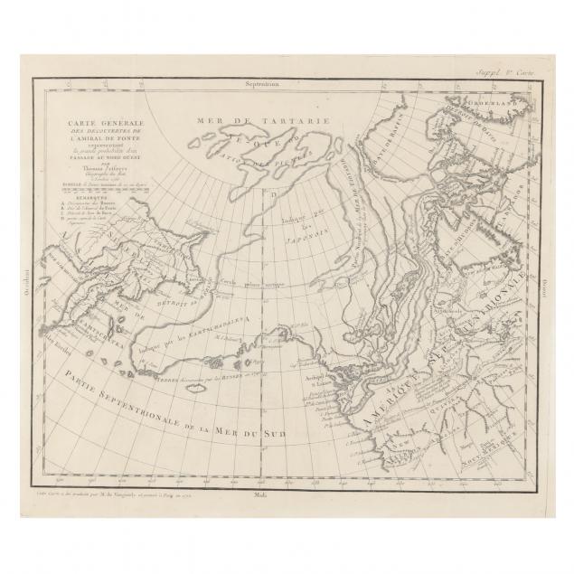
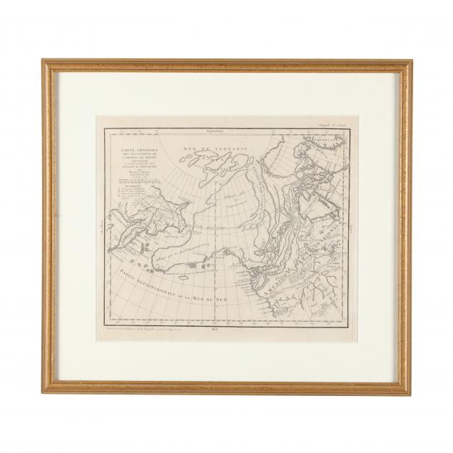
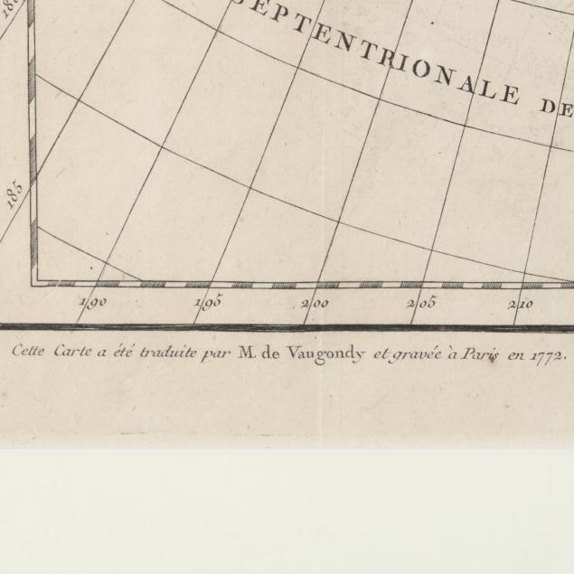
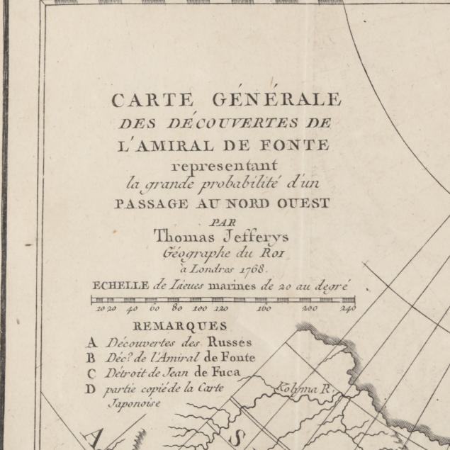
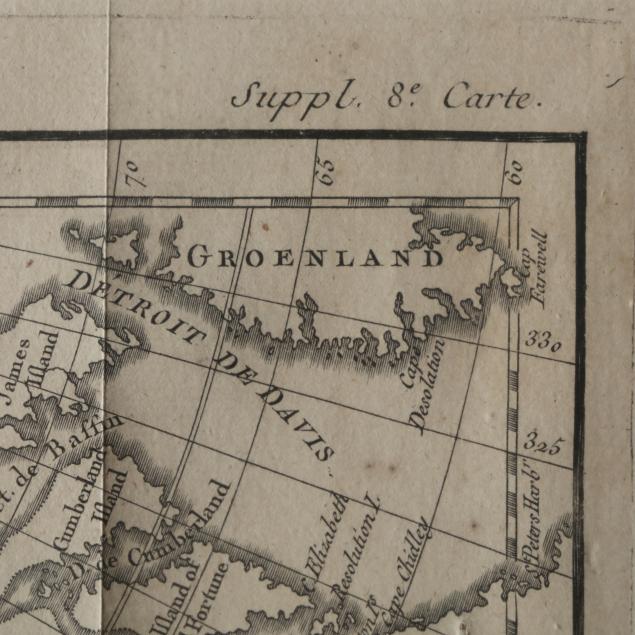
Robert de Vaugundy. CARTE GÉNÉRALE DES DÉCOUVERTES DE L'AMIRAL DE FONTE REPRESENTANT LA GRANDE PROBABILITÉ D'UN PASSAGE AU NORD OUEST PAR THOMAS JEFFERYS. Paris, 1772. Copperplate engraving, French print of the English cartographer Jefferys's map of 1768 depicting the theory of the Northwest Passage according to 17th-century admiral, Bartholomew de Fonte, no. 8 from a series of (10) maps of North America from the Supplement to
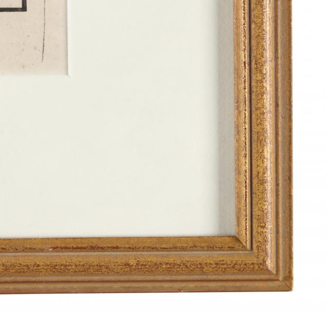
Encyclopédie edited by Denis Diderot; presented behind mat in wooden frame.
Image size 12 5 /8 x 14 1/2 in.; frame dimensions 19 1/4 x 21 1/4 in.
Very light foxing, fold creases; not examined out of frame; overall very good condition.